
News
Weather & Flooding Update #3 Ocean City, Maryland — October 12, 2025
By AnnOctober 12, 20253 min read
On this page
The Town of Ocean City’s Emergency Management Department, together with Town leadership, continues to track the coastal storm and its evolving effects. The National Weather Service and local meteorologists have issued new guidance for residents and visitors.
Storm & Wind Conditions
-
The forecast for wind speeds has eased slightly, though gusts may still reach up to 50 mph.
-
According to WBOC, a gale warning remains in effect until 8 a.m. Monday, with north winds of 20 to 30 knots and gusts up to 40 knots over coastal and inland waters. WBOC TV
-
Meteorologists warn that overnight into Monday, gusts above 50 mph are also possible as the storm persists. WBOC TV
-
Waves in the coastal zone are expected to be 3 to 6 feet, posing hazards to small craft and coastal access. WBOC TV
Flood / Tide Outlook & Coastal Impacts
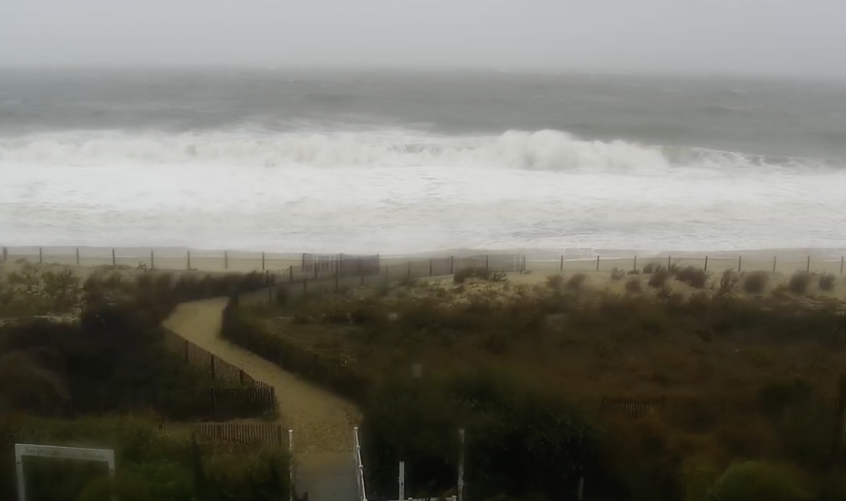 Water is up to the snow fencing at the Carousel Hotel
-
High tide events are projected at 1:00 p.m. and 1:00 a.m. — with flooding likely about 2 hours later on the bayside (around 3:00 p.m. and 3:00 a.m.).
-
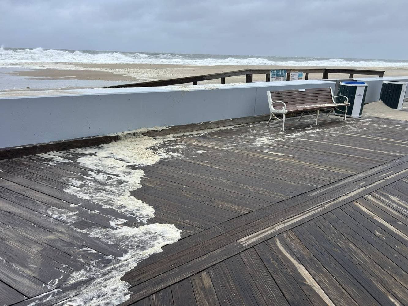
WBOC’s reporting and radar imagery show “wicked” waves and elevated water levels encroaching on the inlet and boardwalk areas. WBOC TV
-
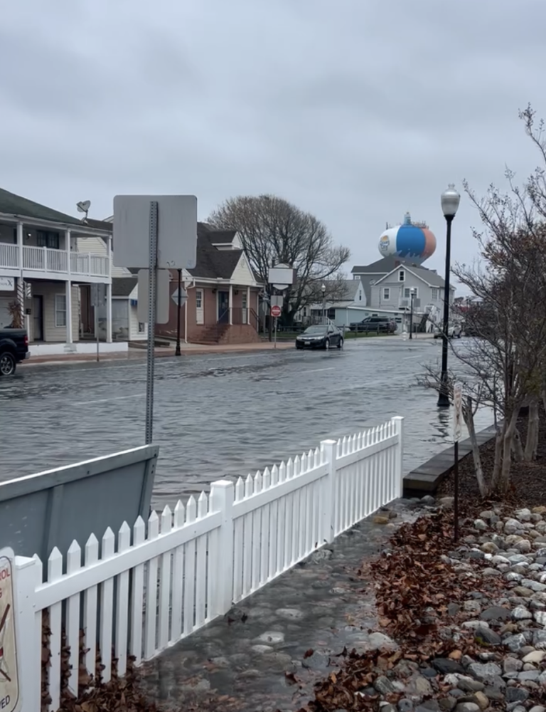
The storm also brings coastal flooding, beach erosion, and strong wind-driven surge into low-lying streets, particularly near tidal rivers and bays. WBOC TV
-
NOAA’s ocean gauge at the inlet (OCIM2) suggests that shallow flooding is expected in vulnerable waterfront zones—with some road closures and vehicle inundation possible. National Water Prediction Service
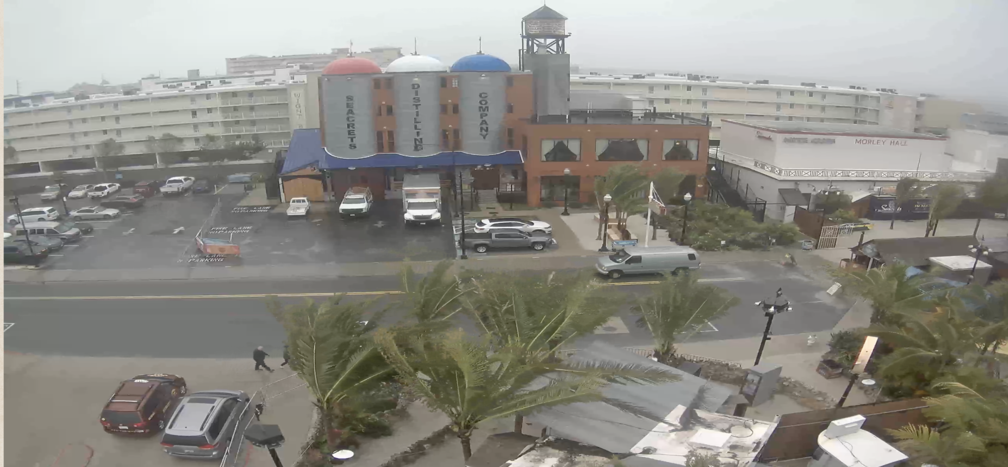 It's windy at Seacrets, but no street flooding-people and cars moving.
Parking & Public Safety Advisory
-
Everyone with vehicles parked on downtown streets — from the Inlet to 15th Street — is strongly urged to relocate to higher ground to avoid flood damage.
-
The Town reminds residents and visitors: do not drive through standing water. Even a few inches can disable a vehicle or hide hazards underneath.
-
Avoid flood-prone areas, stay alert, and exercise caution, especially during peak tidal periods.
Leadership Comments
“We continue to monitor the storm’s progression and will provide updates as necessary,” said Mayor Rick Meehan.
“While wind conditions have improved slightly, we are expecting moderate flooding during the high tide cycles. Residents and visitors, specifically in the downtown and bayside areas, could experience increased flooding during the bayside high tide cycles around 3 p.m. and again early Monday morning.”
Communications & Support
-
The Town has activated its Joint Information Center (JIC) to coordinate messaging and updates.
-
For further assistance or questions, use the contact form on oceancitymd.gov, or call 410-520-5285.
OceanCity.com Webcams
You can see waves in the inlet, water covering the beach, and windy conditions at some of OceanCity.com's webcams. Check them out here: https://www.oceancity.com/webcams/ Photos from today on the OceanCity.com Facebook page. Follow for live updates: https://www.facebook.com/ocfun/About Ann
Get Ocean City in your inbox
Updates, events, and deals — delivered weekly. No spam, unsubscribe anytime.
From visitors
Comments
Have something to add? Drop a comment below.
Be the first to share your experience.