Downtown
Big Nor’easter, Full Moon, High Tides & Oceans Calling 2026
A powerful nor’easter, a full moon and elevated tides are converging as Ocean City prepares for Oceans Calling 2026. Here is the day-by-day forecast, what the changing winds mean and how to watch beach conditions on the festival webcams.
4 min read
On this page
Big Nor'easter, Full Moon, High Tides & Oceans Calling 2026
Updated Wednesday, September 23, 2026
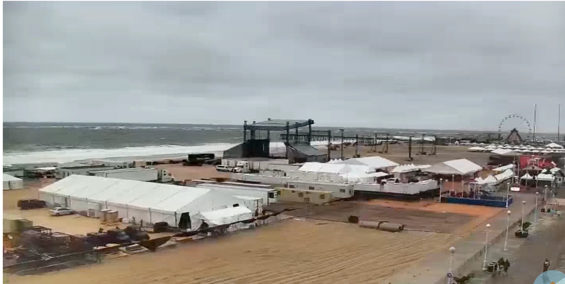
A powerful coastal storm is churning off the Mid-Atlantic just as Ocean City prepares for Oceans Calling 2026. Strong northeast winds, big surf, above-normal water levels and Saturday's full moon are all arriving in the same week—but there is encouraging news for festivalgoers: for now, the Oceans Calling tents and festival beach look good.
You can check conditions for yourself on the Oceans Calling festival webcams, which offer live views from several locations near the festival grounds and along the Boardwalk.
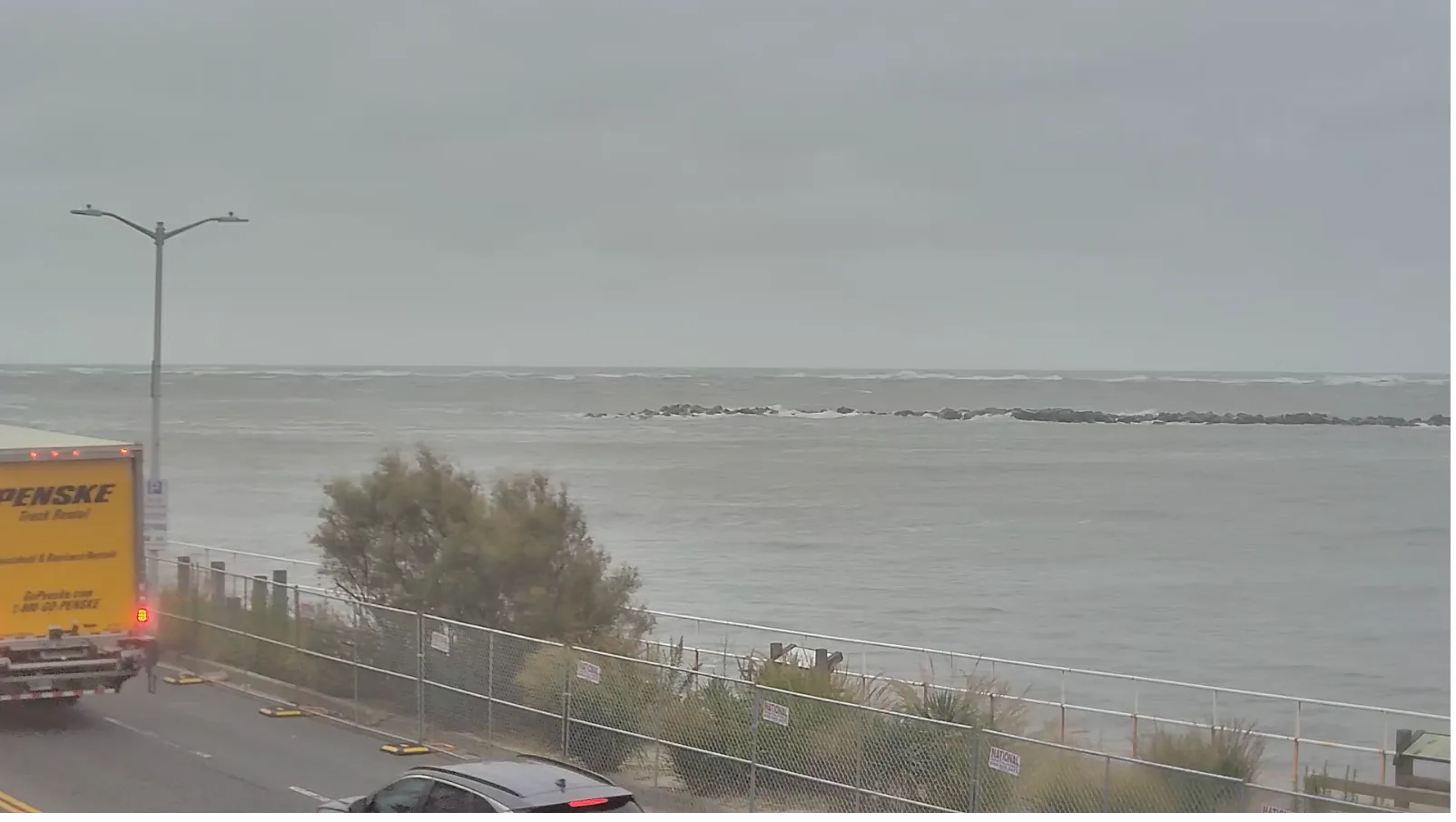
The storm is expected to be at its worst before the festival begins. As the wind turns from northeast to north and then northwest, conditions should gradually improve. A north wind reduces the direct onshore push and allows the waves to begin subsiding, although the ocean may remain rough for a while. Once the wind turns northwest, its offshore component should help draw some of the water that has piled up in and around Ocean City back out.
We will update this story with weather reporting from the National Weather Service
Wednesday, September 23: The Nor'easter Bears Down
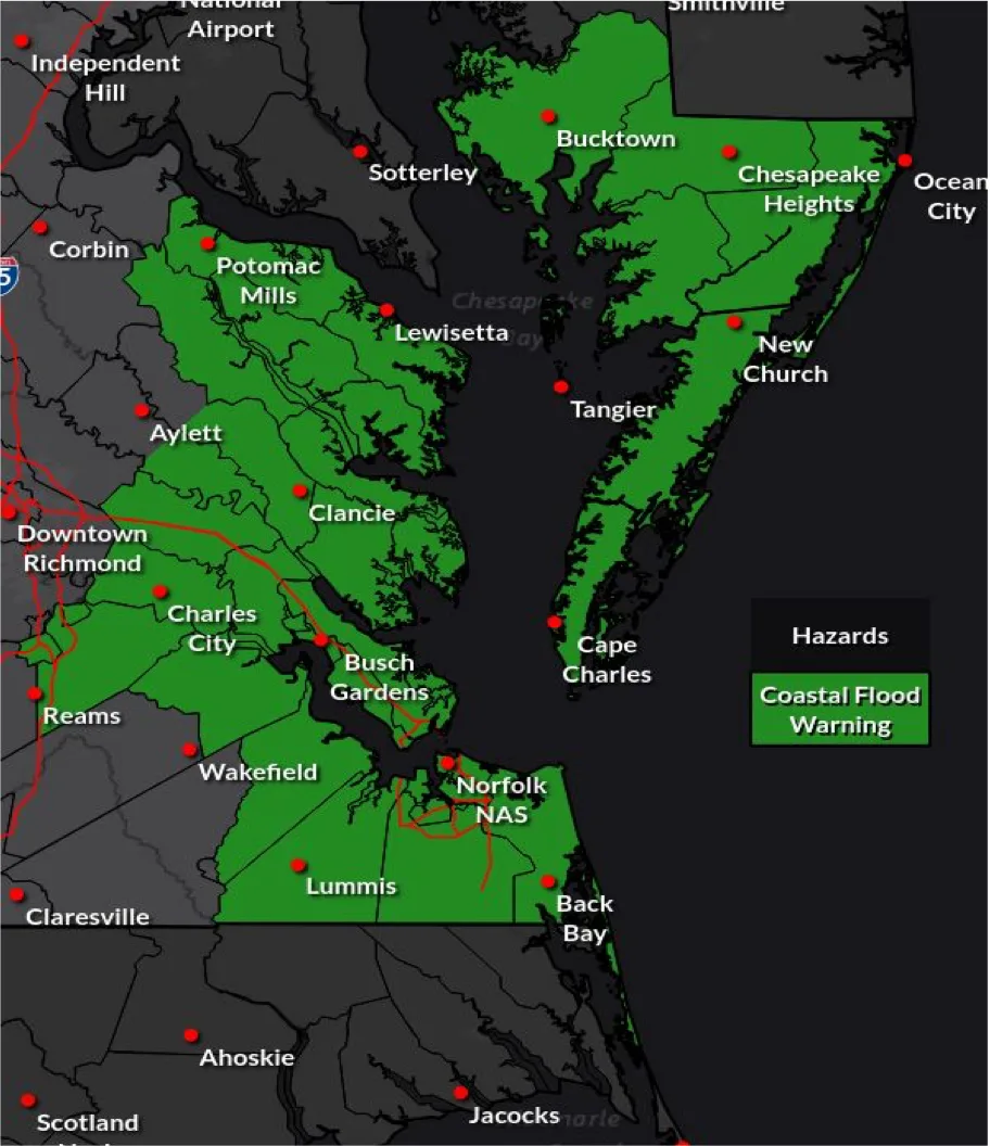
Wednesday is expected to bring some of the storm's strongest conditions. The National Weather Service forecast calls for northeast winds of 25 to 35 mph, gusts as high as 50 mph and rain likely, especially during the morning. Large breaking waves and dangerous rip currents are expected, and flooding is possible in low-lying areas near the bay, Inlet and other tidal waterways. Festival setup is continuing, and the tents and beach look good for now, but conditions can change quickly during a coastal storm.
Thursday, September 24: Still Windy and Rough
Thursday should remain cloudy, cool and very windy, with northeast winds of 25 to 35 mph, gusts up to 45 mph and a chance of rain. The surf will remain rough, with the National Weather Service's current High Surf Advisory continuing through Thursday evening. The important change should begin Thursday night, when the wind is forecast to turn north as the coastal low starts moving away. That shift should weaken the direct push of ocean water toward the beach and allow the waves to begin coming down gradually.
Friday, September 25: Oceans Calling Opening Day
Friday—the first day of Oceans Calling—is forecast to be mostly cloudy and windy, with a 40% chance of showers and temperatures in the upper 60s. North winds of 20 to 30 mph could still gust to around 40 mph, so festivalgoers should dress for a cool, breezy day and be prepared for a passing shower. The ocean will probably still look dramatic, but the north wind should begin easing the direct onshore wave action. Astronomical high tides at the Ocean City Inlet are predicted for approximately 7:23 a.m. and 7:49 p.m.
Saturday, September 26: Full Moon and High Tides
Saturday is expected to be partly sunny, windy and near 70 degrees, with a 30% chance of showers. The wind should gradually turn from north toward northwest. That is good news for Ocean City because a northwest wind helps move water away from the coast and out of the bays, although elevated seas may keep the surf rough into the weekend.
The Harvest Moon becomes officially full at 12:49 p.m. EDT Saturday. High tides at the Ocean City Inlet are predicted at approximately 8:06 a.m. and 8:28 p.m. That means the evening high tide will arrive under a full moon, during Oceans Calling's Saturday performances. Full moons produce higher-than-usual astronomical tides, sometimes called spring tides. When those tides occur immediately after several days of strong onshore wind, water levels deserve extra attention—even as the overall storm begins to move away.
Sunday, September 27: Gradual Improvement
Sunday currently looks like the best of the three festival days. The forecast calls for partly sunny skies, a chance of showers during the morning, breezy conditions and a high near 70. Winds should continue to diminish during the day. High tides at the Ocean City Inlet are predicted for approximately 8:49 a.m. and 9:08 p.m. Because the moon will still appear nearly full, astronomical tides will remain elevated, but the expected northwest wind and weakening storm should help water levels begin returning toward normal.
What Festival-goers Should Know
The headline is dramatic, but timing and wind direction matter. The strongest northeast winds and biggest onshore push are expected before Oceans Calling opens. Conditions should begin improving as the wind turns north Thursday night and then northwest during the weekend. Still, the beach, ocean and tides may not settle immediately, and forecasts can change as the offshore low moves north.
Use extra caution near flooded streets, obey all beach and emergency restrictions, and never drive through standing water. Stay tuned to OceanCity.com for the latest Oceans Calling news, weather updates and new images of the beach as conditions develop.
Get Ocean City in your inbox
Updates, events, and deals — delivered weekly. No spam, unsubscribe anytime.
From visitors
Comments
Have something to add? Drop a comment below.
Be the first to share your experience.